LiDAR Remote Sensing and Applications(English, Electronic book text, Dong Pinliang)
- Dong Pinliang
Paperback & Hardcover deals ―
Amazon IndiaGOFlipkart ₹ 2599SnapdealGOSapnaOnlineGOJain Book AgencyGOBooks Wagon₹12,683Book ChorGOCrosswordGODC BooksGOe-book & Audiobook deals ―
Amazon India GOGoogle Play Books ₹108Audible GO* Price may vary from time to time.
* GO = We're not able to fetch the price (please check manually visiting the website).
Know about the book -
LiDAR Remote Sensing and Applications(English, Electronic book text, Dong Pinliang) is written by Dong Pinliang and published by Taylor & Francis Ltd. It's available with International Standard Book Number or ISBN identification 1351233335 (ISBN 10) and 9781351233330 (ISBN 13).
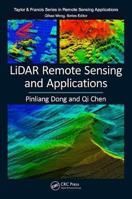
Ideal for both undergraduate and graduate students in the fields of geography, forestry, ecology, geographic information science, remote sensing, and photogrammetric engineering, LiDAR Remote Sensing and Applications expertly joins LiDAR principles, data processing basics, applications, and hands-on practices in one comprehensive source. The LiDAR data within this book is collected from 27 areas in the United States, Brazil, Canada, Ghana, and Haiti and includes 183 figures created to introduce the concepts, methods, and applications in a clear context. It provides 11 step-by-step projects predominately based on Esri's ArcGIS software to support seamless integration of LiDAR products and other GIS data. The first six projects are for basic LiDAR data visualization and processing and the other five cover more advanced topics: from mapping gaps in mangrove forests in Everglades National Park, Florida to generating trend surfaces for rock layers in Raplee Ridge, Utah. Features Offers a comprehensive overview of LiDAR technology with numerous applications in geography, forestry and earth science Gives necessary theoretical foundations from all pertinent subject matter areas Uses case studies and best practices to point readers to tools and resources Provides a synthesis of ongoing research in the area of LiDAR remote sensing technology Includes carefully selected illustrations and data from the authors' research projects Before every project in the book, a link is provided for users to download data
